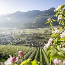
The 9th and last stage of the Alta Via di Merano leads us from the high mountains down to the Valle di Plan
Image gallery: Alta Via di Merano Rifugio Petrarca - Plan
-
-
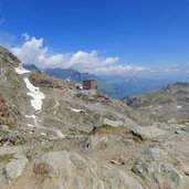
DA-1206-stettiner-huette.jpg
-
D-3518-stettiner-huette.jpg
-
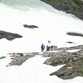
DB-1197-schnee-im-sommer-mhw.jpg
-
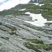
DC-1188-vom-gletscher-geschliffenes-gestein.jpg
-
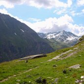
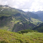
DE-0567-bergwelt-zwischen-texelgruppe-und-stubaier-alpen.jpg
-
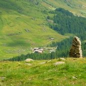
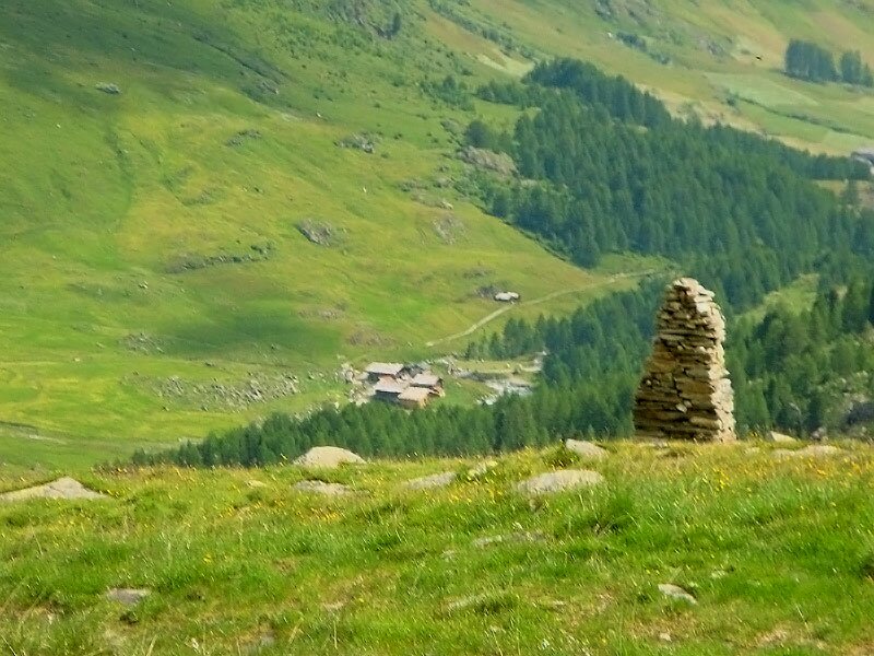
DF-0568-steinmann-markiert-kreuzung-mit-weg-nach-andelsalm.jpg
-
DG-0392-alpenrosen-bei-lazins.jpg
-
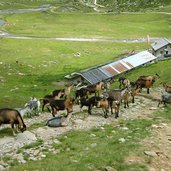
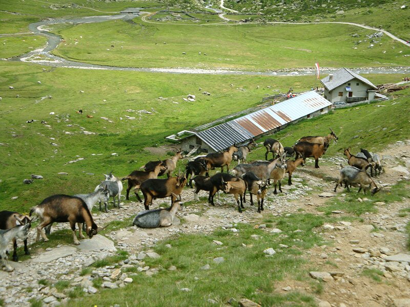
DH-0604-lazinser-alm.jpg
-
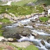
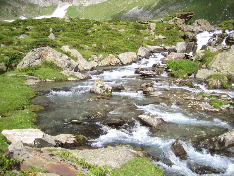
DI-1185-pfelderer-bach.jpg
-
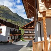
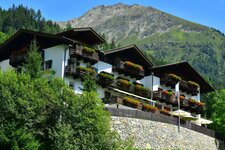
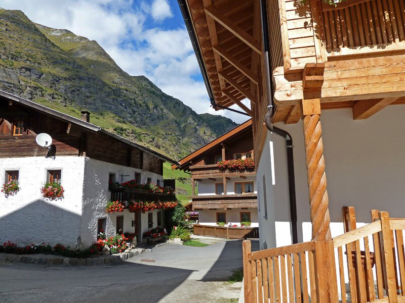
DL-0500-pfelders.jpg
-
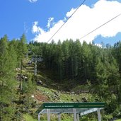
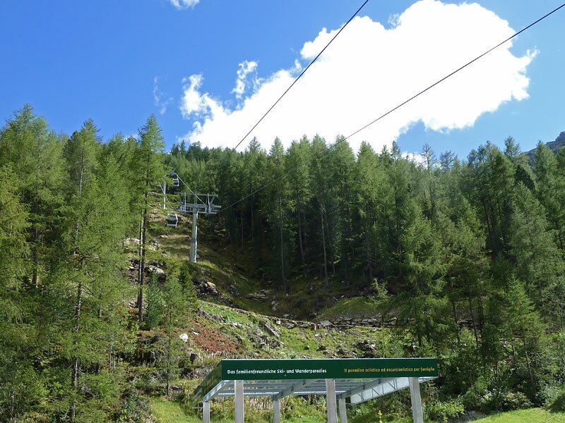
DM-0486-pfelders-kabinenbahn-gruenboden.jpg
-
DN-0485-blick-richtung-rauhjoch.jpg
-
DO-0468-bruecke-ueber-pfelderer-bach.jpg
-
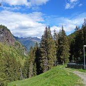
DP-0464-weg-entlang-der-rodelbahn.jpg
-
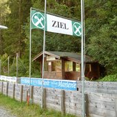
DQ-0452-rodelbahn-ziel.jpg
-
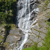
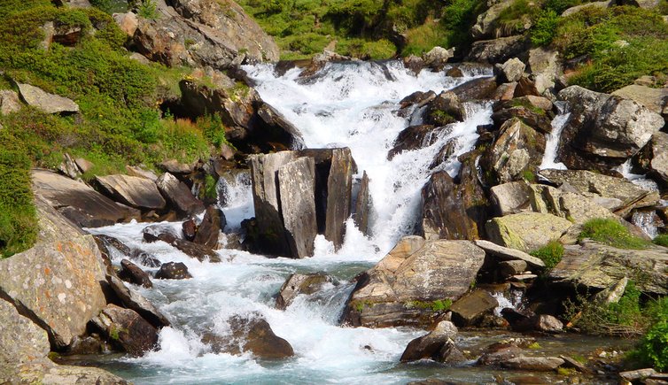
DR-0445-wasserfall-an-der-nordseite-des-pfelderer-tales.jpg
-
DT-0440-meraner-hoehenweg-pfelderer-tal.jpg
-
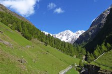
DU-0437-pfelderer-tal-vom-meraner-hoehenweg-aus-gesehen.jpg
-
DV-0424-meraner-hoehenweg-nahe-der-strasse-moos-pfelders.jpg
-
DW-0415-markierung-meraner-hoehenweg-pfelderer-tal.jpg
-
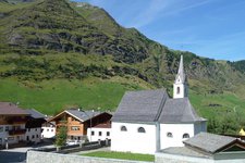
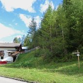
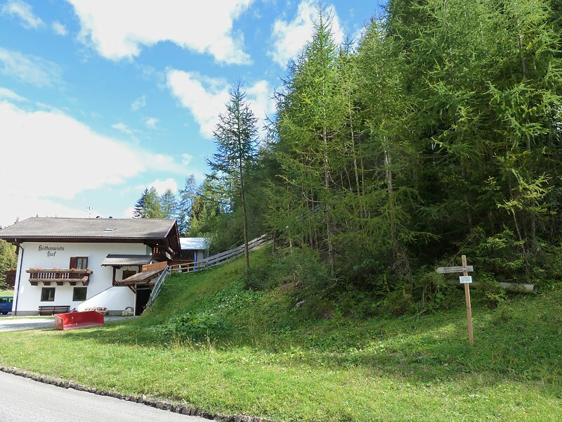
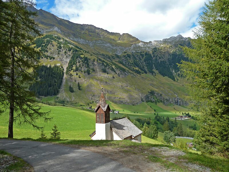
DX-0413-ausserhuett-kirche.jpg
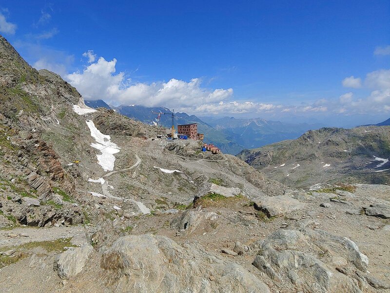
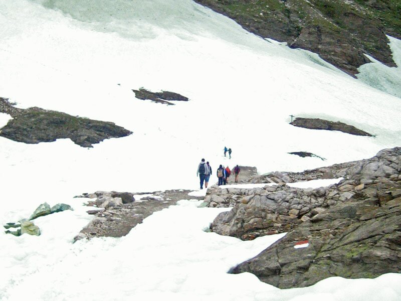
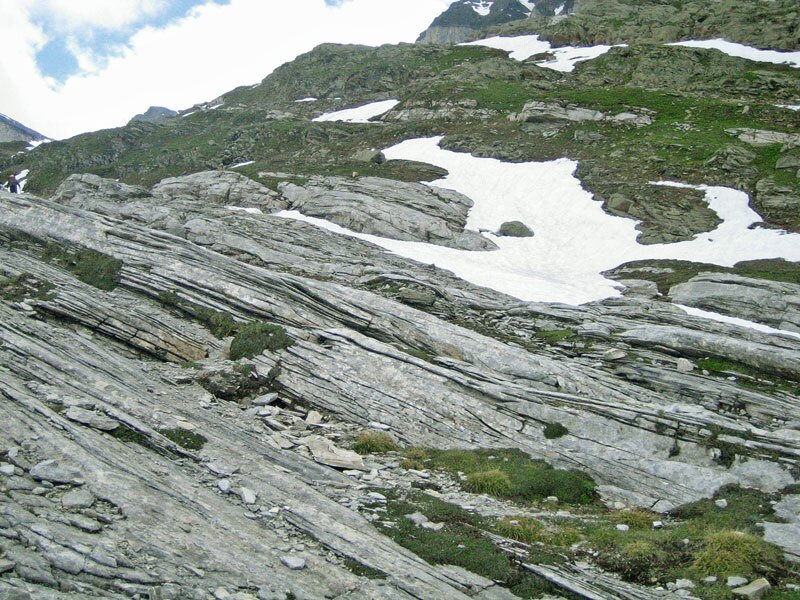
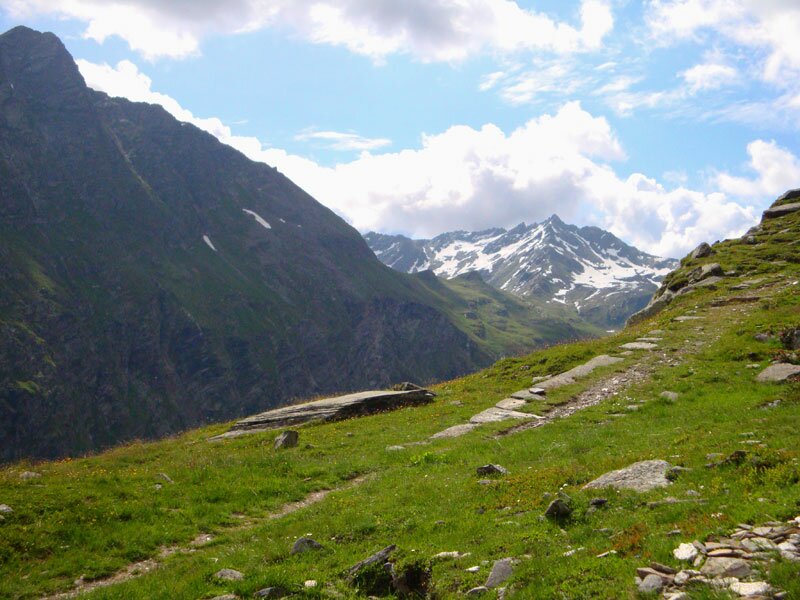
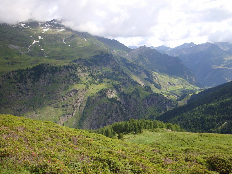
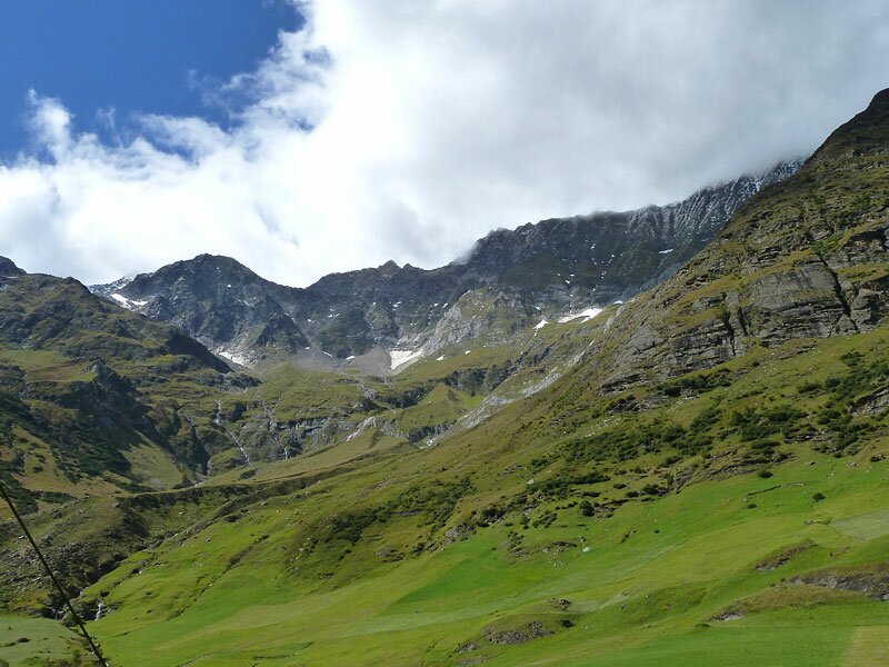
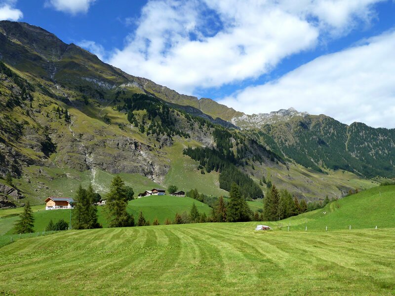
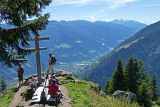
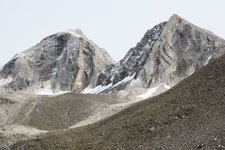
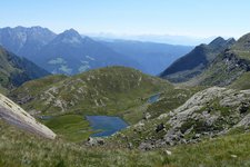
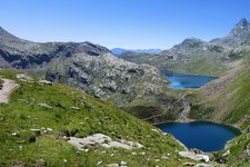
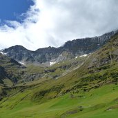
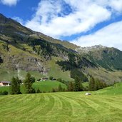
From the Rifugio Petrarca all'Altissima, we hike downwards through a rocky, partly snow-covered landscape. After a steep zigzag descent we cross another rocky landscape, formed by retreating glaciers. Since we are getting closer to an altitude of 2,000 m a.s.l., the meadows turn greener and greener. Another zigzag trail leads us down to the Lazins alpine pasture.
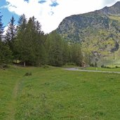
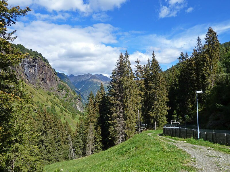
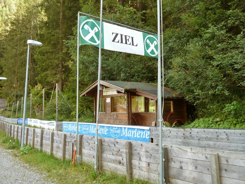
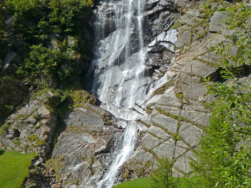
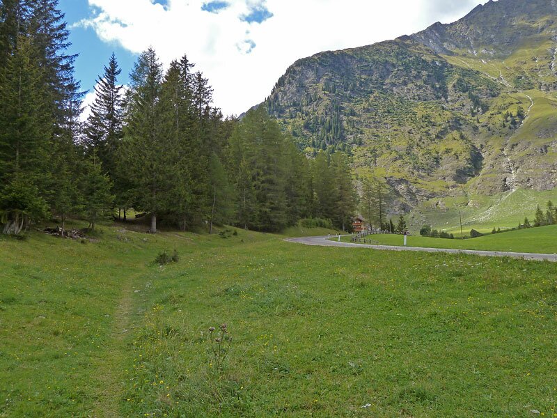
From here, an easier forest road leads us to the hamlets of Lazins and Zeppichl until we finally reach the small village of Plan in Val Passiria. Having passed the mountain station of the Grünboden cable car, we follow the small brook towards east. Several waterfalls are running down on the northern side of the valley, transporting snowmelt into the valley brook. Part of this section of the Alta Via di Merano leads along the natural winter toboggan run. Arrived at the valley bottom, the trail leads quite gently along the main road from Moso to Plan.
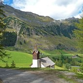
At the Ausserhütt farm the Alta Via di Merano branches off into the forest, leading towards Ulvas. However, our adventurous hiking tour on the Alta Via di Merano ends here in Capanne di Fuori (Ausserhütt), the starting point of our first stage!
-
- Starting point:
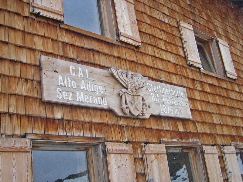
- Rifugio Petrarca all'Altissima (2,875 m a.s.l.)
-
- Time required:
- 04:20 h
-
- Track length:
- 14,6 km
-
- Altitude:
- from 1.444 m to 2.878 m
-
- Altitude difference:
- +32 m | -1451 m
-
- Route:
- Rifugio Petrarca all'Altissima - Lazins - Plan - Capanne di Fuori
-
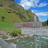
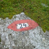
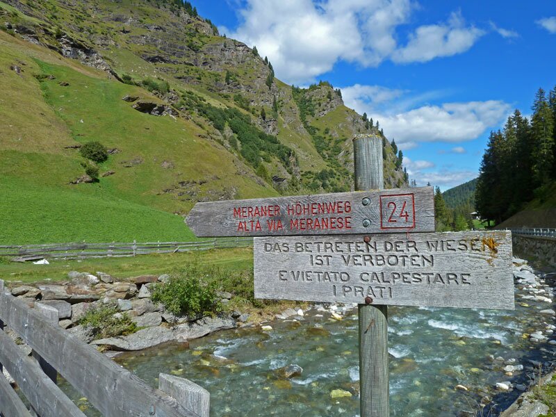
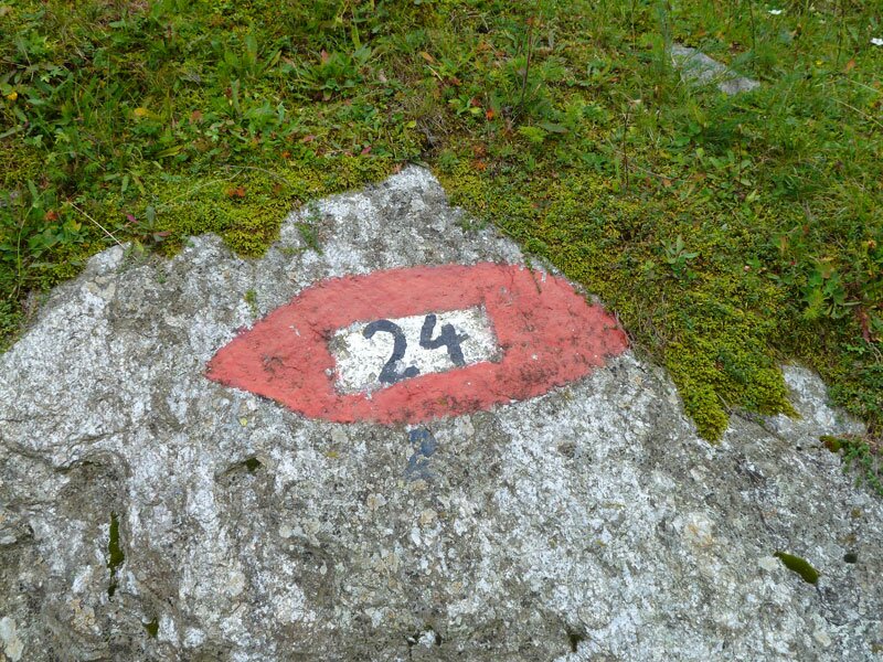
- Signposts:
- no. 24 (Alta Via di Merano)
-
- Destination:
- Capanne di Fuori (Ausserhütt)
-
- Resting points:
- Lanzinser Alm, Lazins, huts and restaurants at Zeppichl and Plan
-
- Recommended time of year:
- Jan Feb Mar Apr May Jun Jul Aug Sep Oct Nov Dec
-
- Download GPX track:
- Alta Via di Merano Rifugio Petrarca - Plan
If you want to do this hike, we suggest you to check the weather and trail conditions in advance and on site before setting out.