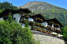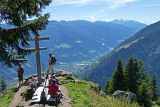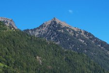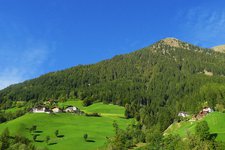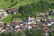
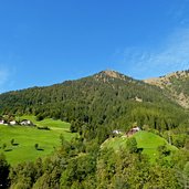
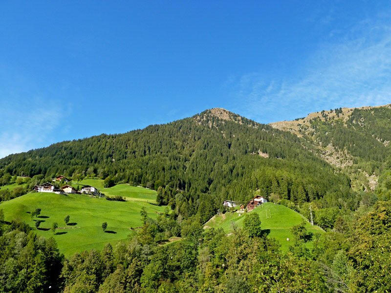
The trail takes along the sunny slopes of the Val Passiria, passing Montaccio, Valclava, Magdfeld and Vernurio, with a great view of Monte Cervina and Monte Ivigna
Image gallery: Alta Via di Merano Montaccio - Vernurio
-
-
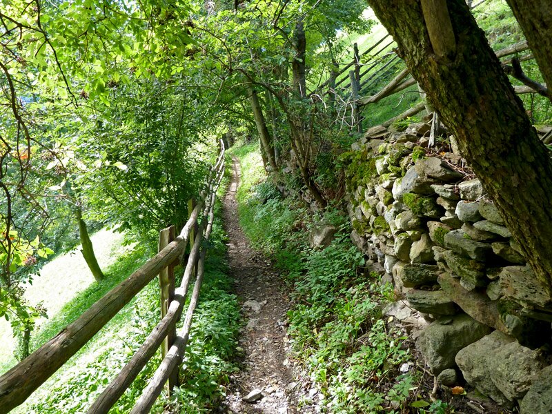
D-0908-matatz.jpg
-

D-0948-mhw-bei-matatz.jpg
-
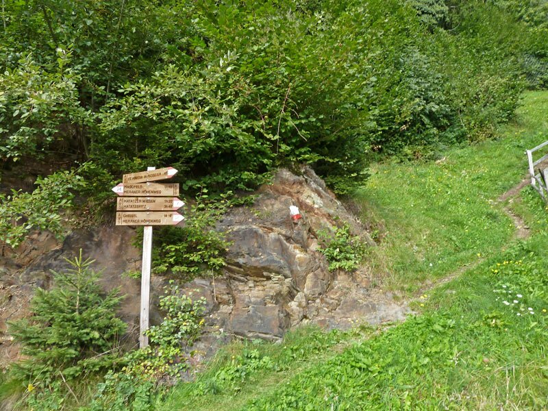
D-0958-mhw-bei-matatz-wegweiser.jpg
-
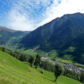
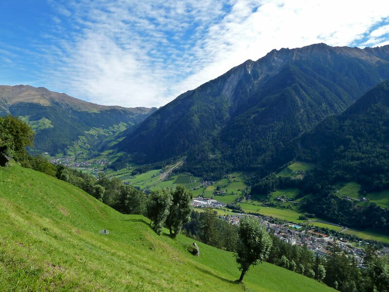
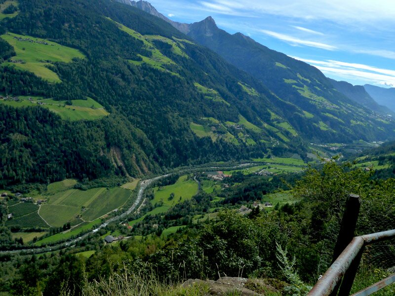
D-0963-passeiertal-von-mhw-aus.jpg
-
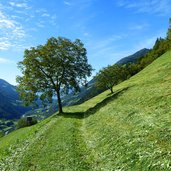
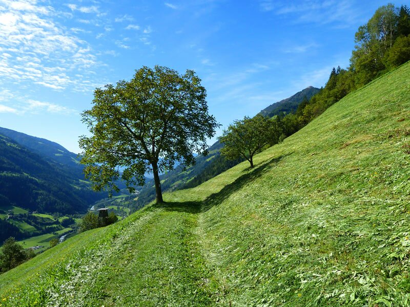
D-0980-mhw-weg-durch-wiesen.jpg
-
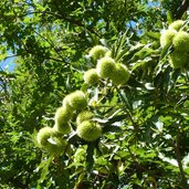
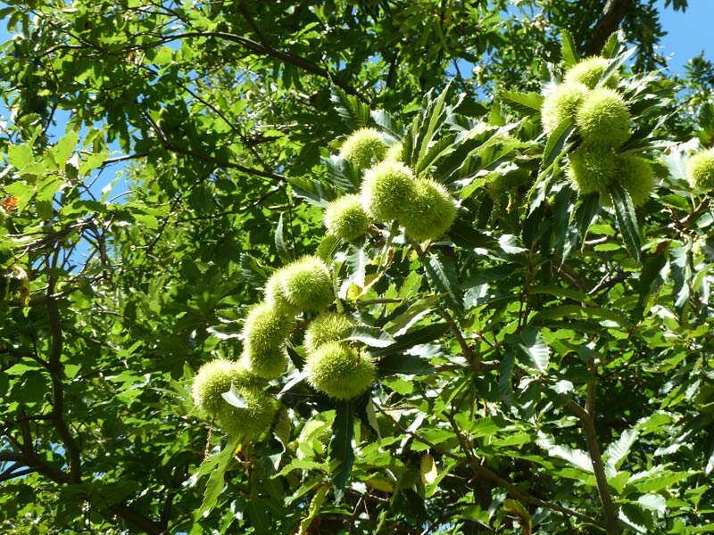
D-1008-mhw-kastanien-bei-kalmtal-niedrigste-stellen.jpg
-
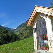
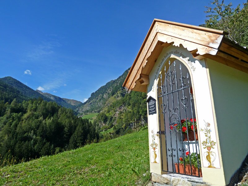
D-1011-kalmtal-kapelle.jpg
-
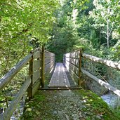
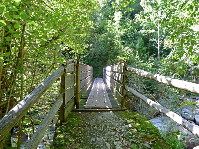
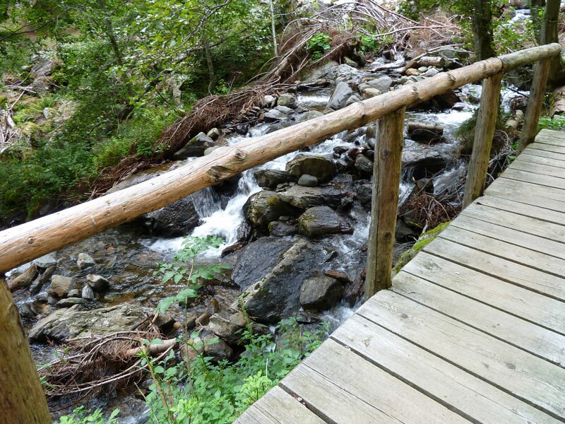
D-1021-bruecke-ueber-bach-kalmtal.jpg
-
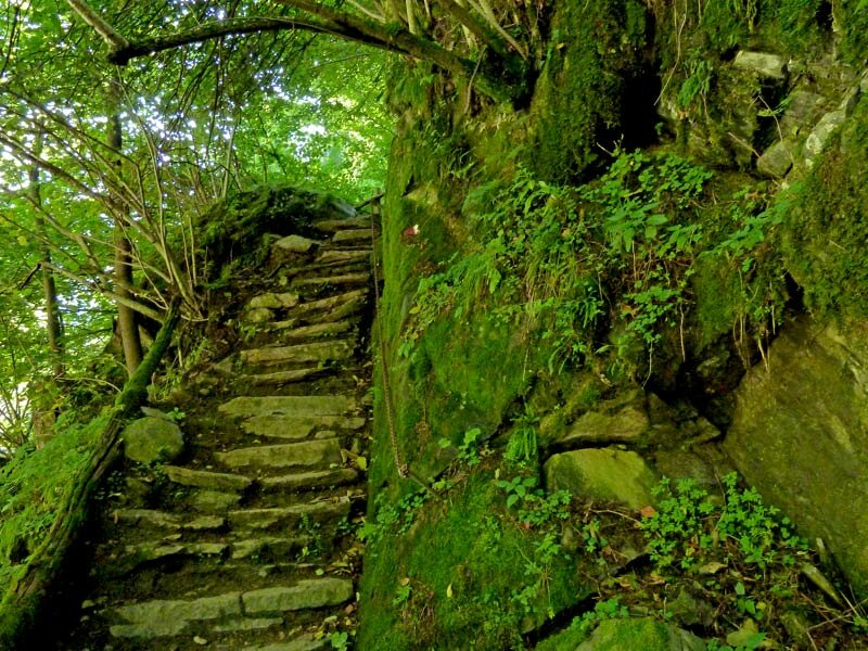
D-1029-aufstieg-aus-kalmtal.jpg
-
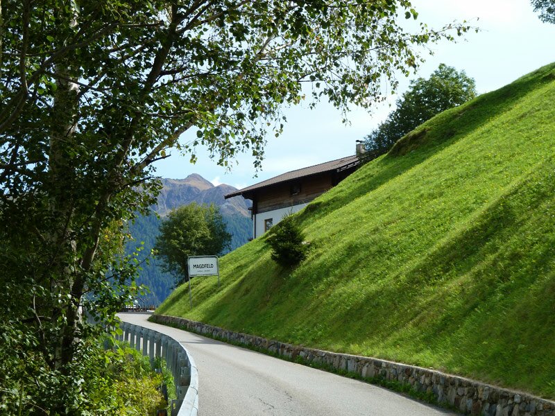
D-1069-magdfeld.jpg
-
D-1083-pause-mit-kaffee-kuchen.jpg
-
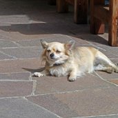
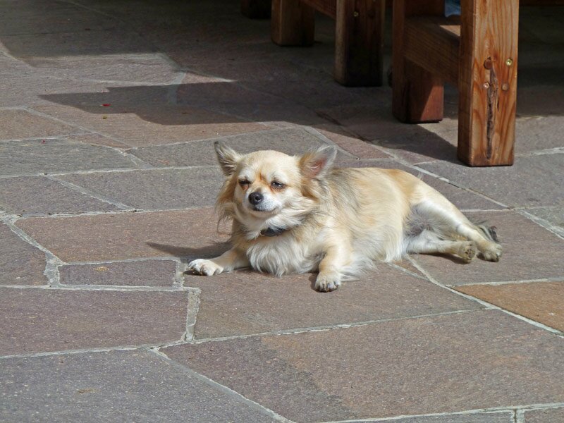
D-1085-hund-in-magdfeld.jpg
-
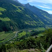
D-1112-unteres-passeiertal.jpg
-
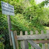
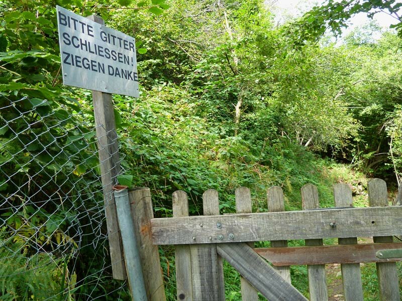
D-1122-ziegen-danke.jpg
-
D-1153-steile-sache-am-mhw.jpg
-
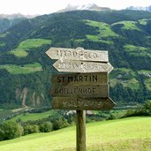
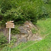
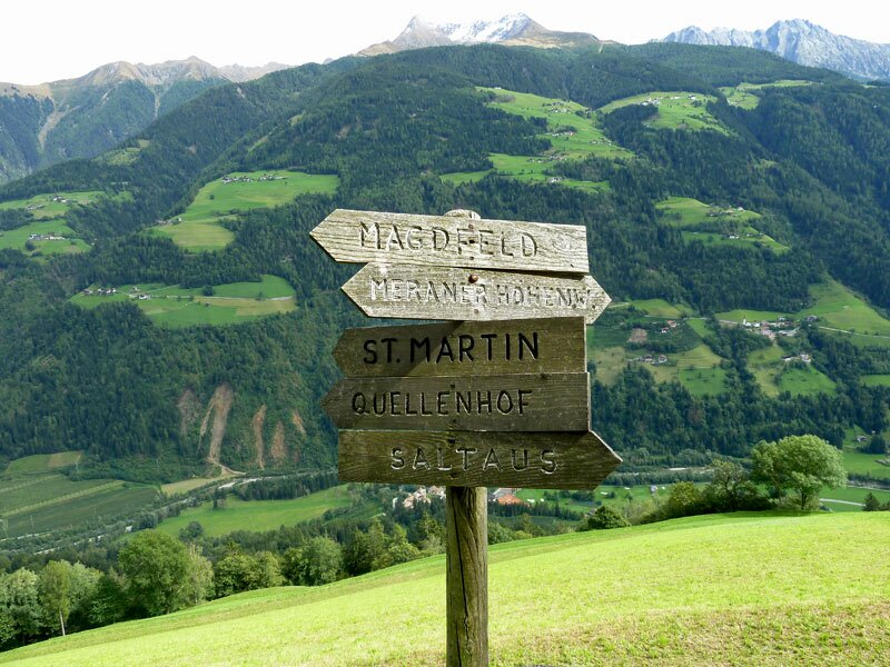
D-1164-wegweiser-martin-saltaus.jpg
-
D-1215-mhw-wiesenweg.jpg
-
D-1224-mhw-am-felsen-vor-saltauser-bach.jpg
-
D-1239-saltauser-bach-ueberquerung.jpg
-
D-1246-letzter-mhw-abschnitt-nach-vernuer.jpg
-
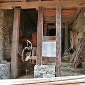
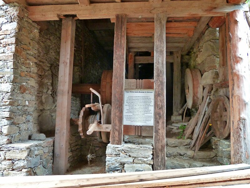
D-1255-vernuer-brunner-saegemuehle.jpg
-
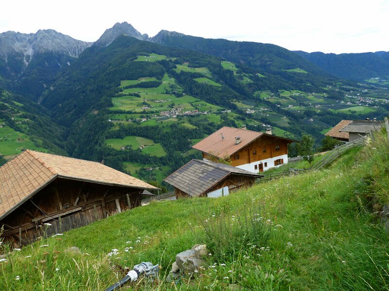
D-1272-vernuer-haeuser.jpg

To reach the starting point of this 12 km long stage of the Alta Via di Merano, we first have to follow trail no. 7 from San Martino in Passiria up to Montaccio, which takes us just a bit more than an hour.
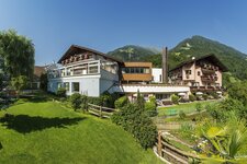
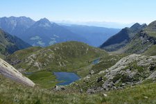
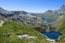
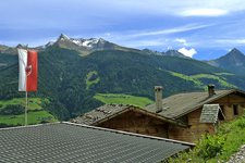
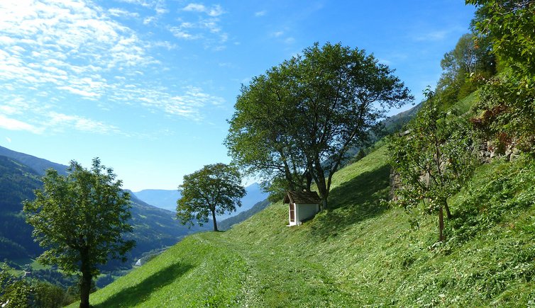
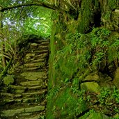
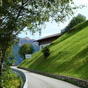
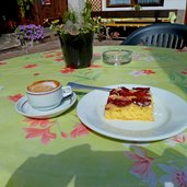
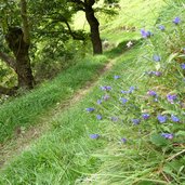
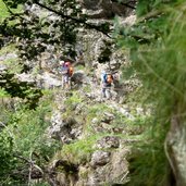
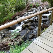
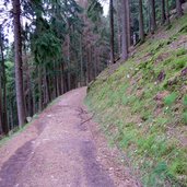
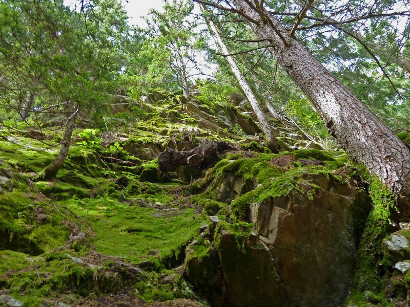
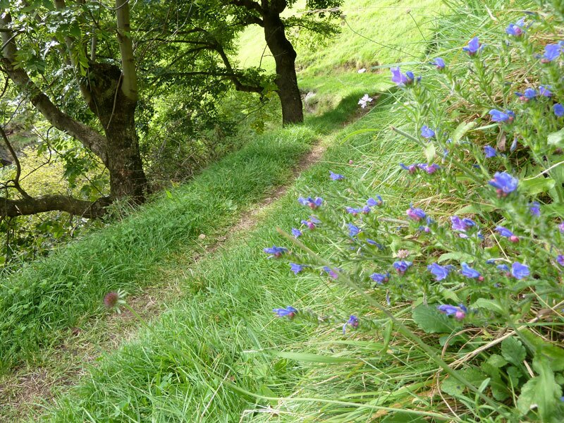
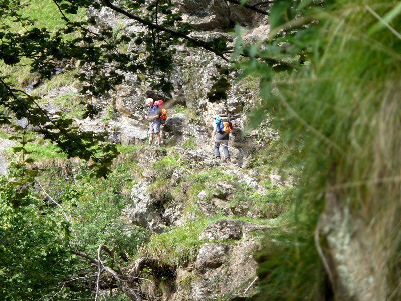
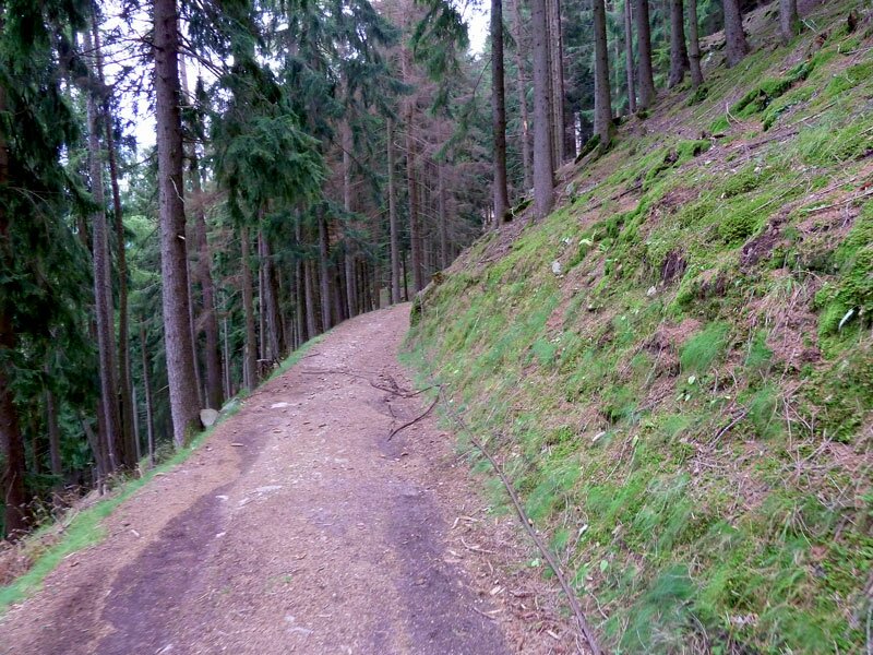
Trail no. 24 first leads us on a small asphalted road and later on several forest and hiking trails (with some steps). Passing some beautiful farm houses, we hike through Valclava and finally upwards again towards Magdfeld. After a short rest at the mountain restaurant in Magdfeld we continue our tour across meadows, forests and ravines. Some steep sections are secured by handrails. However, a good physical fitness is recommended.
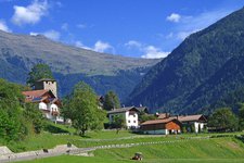
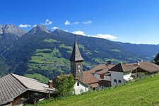
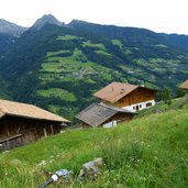
On a rather broad trail we finally reach Vernurio, which offers several restaurants as well as some nice views of the surrounding mountain panorama. From Vernurio back down to the Val Passiria we can either hike on trail no. 5 towards Rifiano, or take the "hiking bus" (Wanderbus), which at the time of our hike runs every hour down to Caines, Tirolo and Rifiano.
For reaching the starting point at Montaccio / Matatz from San Martino, in addition to the quoted data, it's about 2.5 km and 450 m ascent.
-
- Starting point:
- Matatz/Montaccio (reachable from San Martino in Passiria on trail no. 7 in 1 hour)
-
- Time required:
- 03:50 h
-
- Track length:
- 12,0 km
-
- Altitude:
- from 781 m to 1.163 m
-
- Altitude difference:
- +637 m | -599 m
-
- Route:
- Matatz - Magdfeld - Vernuer/Vernurio
-
- Signposts:
- no. 24 (Alta Via di Merano)
-
- Destination:
- Bus stop near Vernuer / Vernurio
-
- Resting points:
- Gasthaus Magdfeld, Gasthaus Brunner
-
- Recommended time of year:
- Jan Feb Mar Apr May Jun Jul Aug Sep Oct Nov Dec
-
- Download GPX track:
- Alta Via di Merano Montaccio - Vernurio
If you want to do this hike, we suggest you to check the weather and trail conditions in advance and on site before setting out.