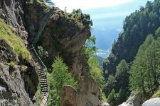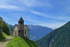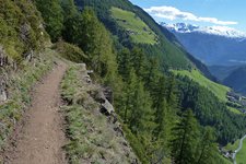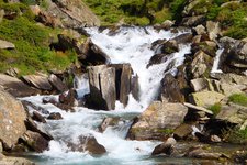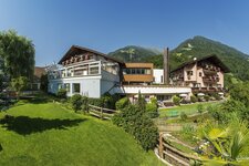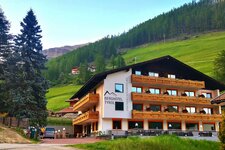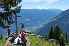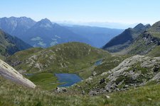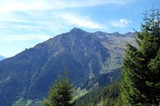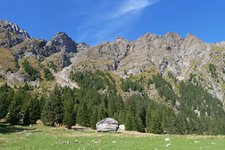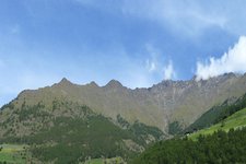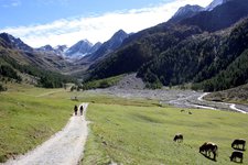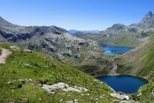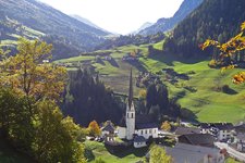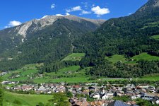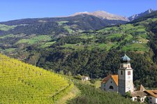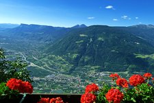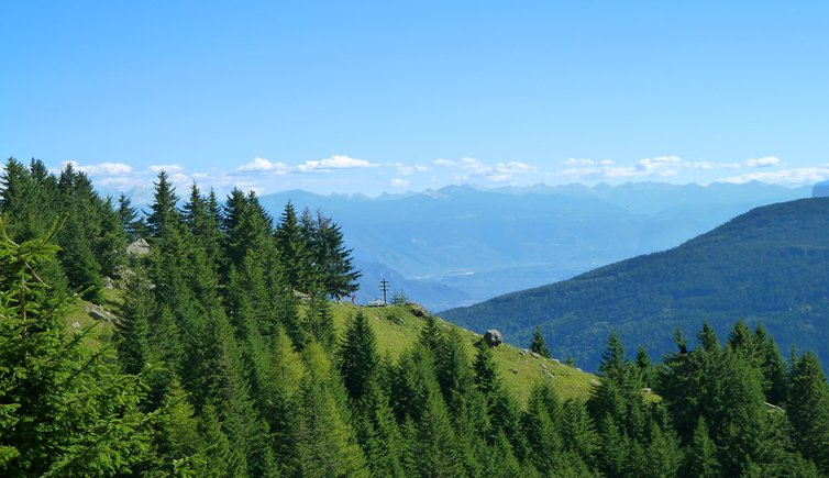
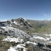
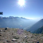
The Alta Via di Merano, a high alpine tour leading through the impressive Gruppo di Tessa Nature Park, is the hiking highlight in the region around Merano
Image gallery: Alta Via di Merano

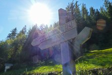
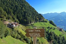
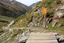
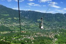
The almost 100 km long Alta Via di Merano was opened in the year 1985 and leads all around the Tessa mountain group, passing many farms and villages in the immediate surroundings of Merano, the Val di Senales and the Val Passiria. In fact, every year it is gaining more and more popularity among hiking enthusiasts. For reasons of simplicity, all trails of the Alta Via di Merano have the same no. 24. Moreover, all starting points of the different stages can be reached by cable cars and/or public buses.
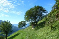
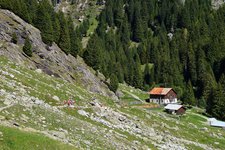
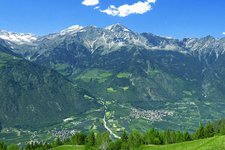
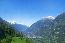
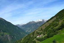
The Alta Via di Merano is divided into a northern part (from Monte Santa Caterina in Val Senales to Passo Gelato and Ulfas in Val Passiria) and a southern part (from Ulfas to the Muthöfe farmsteads and back to Monte Santa Caterina). Passo Gelato at 2,898 m a.s.l. is the highest, Valclava at 790 m a.s.l. the lowest point of the hiking route, which mostly runs at an altitude between 1,300 and 1,800 m a.s.l. In the following we present the Alta Via di Merano (clockwise), divided into 9 single stages. According to the length of each stage and your personal physical fitness you can chose to do one to three stages per day.