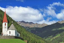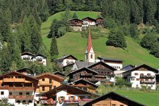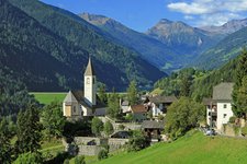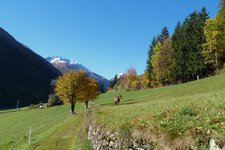
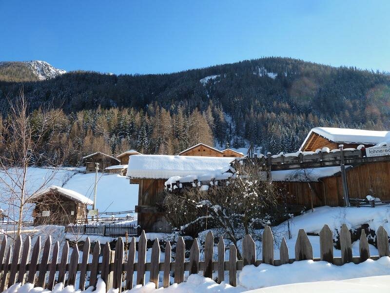
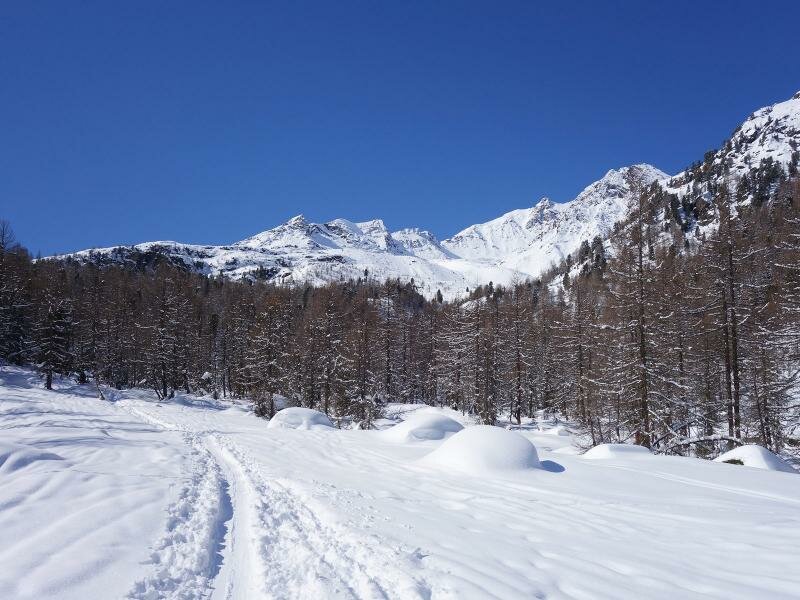
The municipality of Ultimo extends in the homonymous valley and has preserved its originality up to the present day
Image gallery: Ultimo
-
- 25/04/2024
 -4° +6° Weekly weather forecast
 -
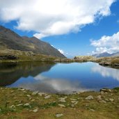
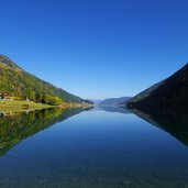
1500328860D-4554-haselgruber-seen-fr2.jpg
-
D-6606-Ultental-Walburg.jpg
-
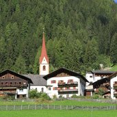
D-6662-Ultental-St-Nikolaus.jpg
-
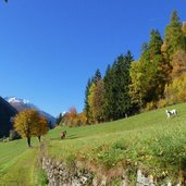
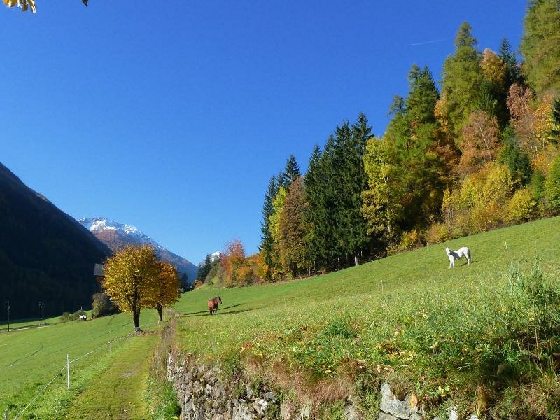
D-9002-ultner-hoefeweg-bei-kuppelwies-pferde.jpg
-
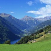
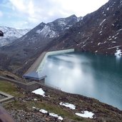
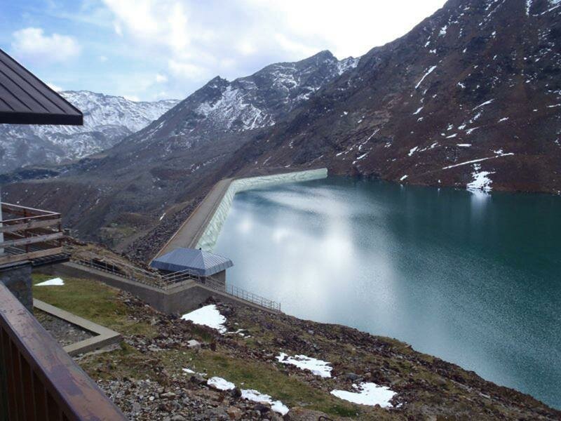
1500328861D-9206-zoggler-stausee-ulten-kuppelwies-herbst.jpg
-
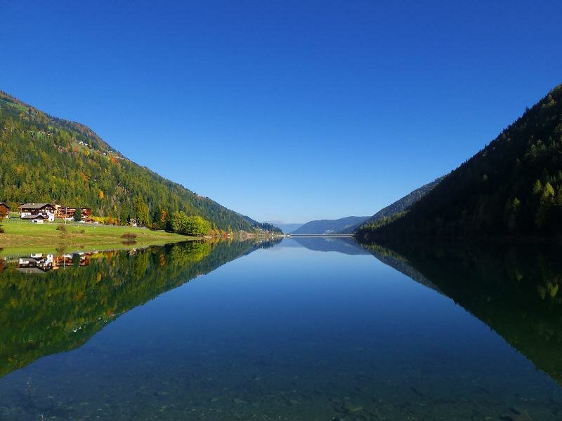
D-Hoechsterhuette-Gruensee-P9250121.jpg
-
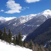
D-3362-st-gertraud-ulten-winter-umgebung.jpg
-
D-3355-st-nikolaus-ulten-winter-umgebung.jpg
-
D-3381-st-nikolaus-ulten-winter-umgebung-albl-snow-fun-park.jpg
-
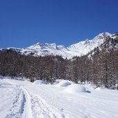
1500321781D-5521-winter-weissbrunn-tal-ulten-weg-103.jpg
-
D-5553-st-gertraud-ulten-und-breitbuehel-winter.jpg
-
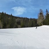
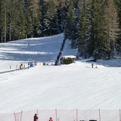
1500321781D-8536-skipiste-sinkmoos-skigebiet-schwemmalm-ulten.jpg
-
D-9612_UltenWinter_Fluss.jpg
-
D-9636_UltenWinter_Langlaufloipe.jpg
-
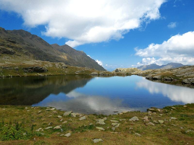
video : Hiking tip: Val d‘Ultimo Lake Tour
-
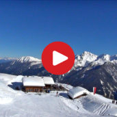
video : Val d‘Ultimo valley
-
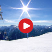
video : Schwemmalm Skiing Area
-
video : The Schwemmalm in the Val d’Ultimo in winter

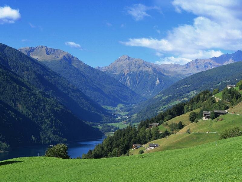
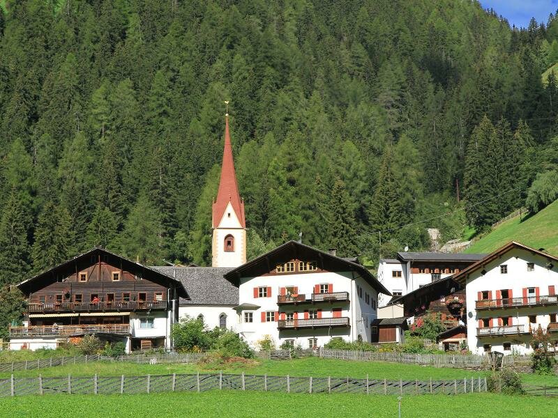
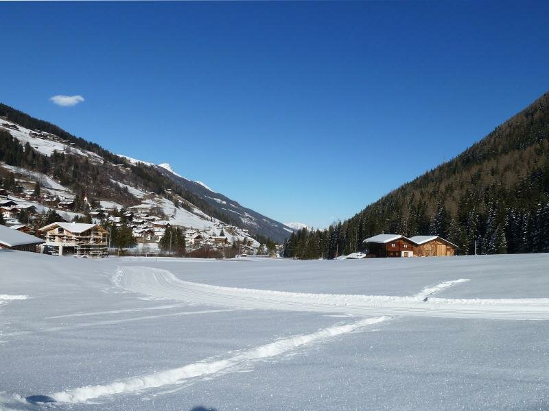
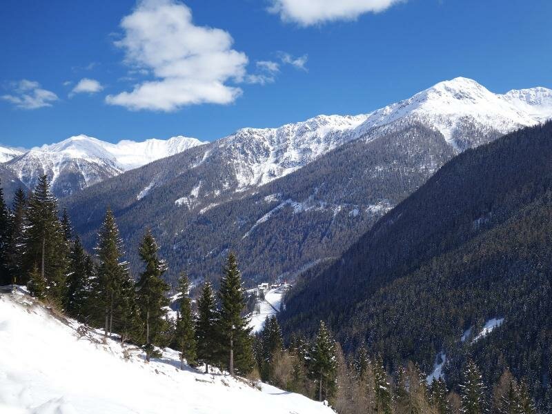


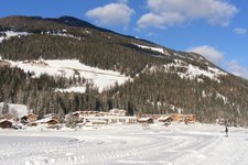
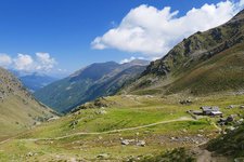
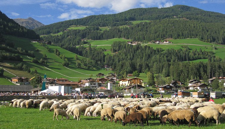
The municipality of Ultimo comprises the villages of Santa Geltrude, San Nicolò, Santa Valpurga and Pracupola, once upon a time also San Pancrazio belonged to this municipality. Ultimo is by the way located in the homonymous valley, branching off from the Val d’Adige at Lana. The municipality extends from 940 to 1,800 m a.s.l., its highest elevation is the Cima Sternai (3,442 m). Ultimo is inhabited by 3,000 people and has preserved its original character.
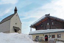
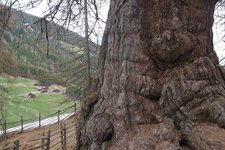
Findings testify that Ultimo has already been inhabited about 1,000 years ago. Many contemporary witnesses are today exhibited in the folklore museum of the Val d’Ultimo. And also the famous centuries-old larch trees would know much to tell about the valley, if only they could talk.
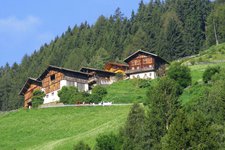
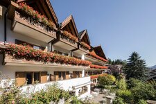
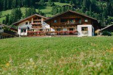
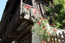
Characteristic for the municipality are also the original farms. Spread over all altitudes, these farms are usually shingled and attract the attention of visitors.
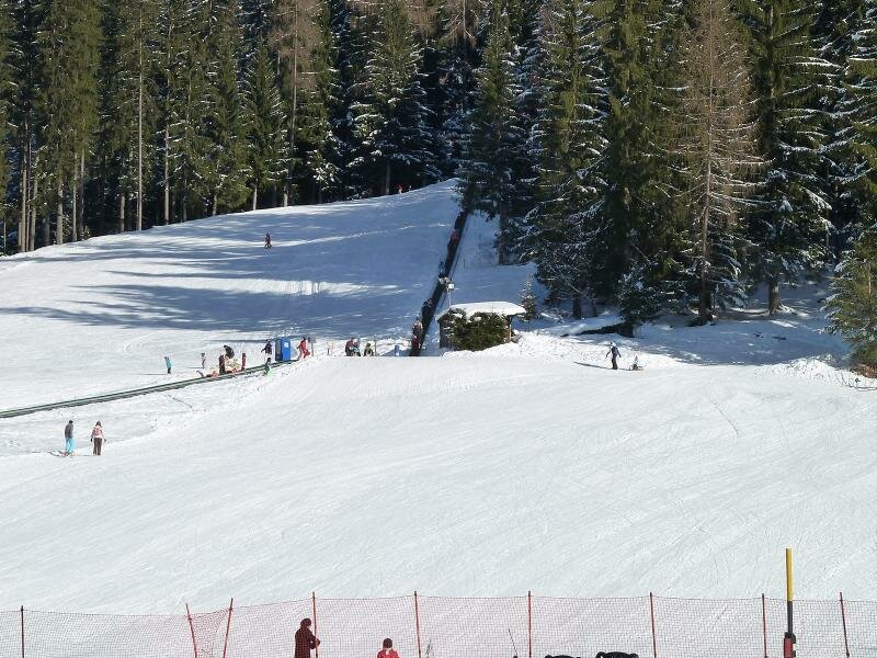
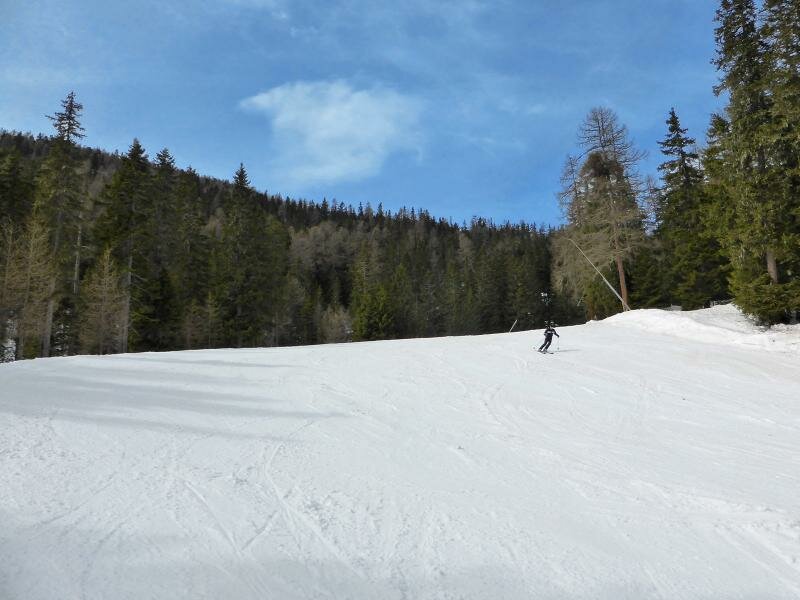
An absolute must-do is a walk along the Via dei Masi or the so-called Karrenweg trail. In winter, however, you can enjoy fully enjoy skiing in the snow-sure Schwemmalm Ski Area, offering perfectly groomed slopes.